Monday, December 28, 2015

Sturgis, SD

Sturgis!
That one word says a lot to someone who own a Harley-Davidson Motorcycle.
I've been there when there were 500,000 other motorcycles there. 
It is held during the first full week of August and has been held over fifty years. 
This is what downtown Sturgis looks like during the rally.


1999 while I was on my way to Sturgis.


Many people from all walks of life show up in Sturgis. 
Native American.


Yellow bike of the left is my bike from 2003.


There are some amazing bikes there with unusual paint jobs.


I like yellow.

Pepsi anyone!

Some strange bikes also.

The famous Buffalo Bike.

This is Deadwood, SD not far from Sturgis.

Guard dog on bike.

Car/Bike wash.
Downtown Sturgis.

Wild Costume.
You see everything.
Lots of dogs.
Three wheel motorcycle.

Cool!
If you are ever in SD in August you will see more motorcycles than you have ever imagined.

Monday, December 21, 2015

Canyon de Chelly

For nearly 5,000 years, people have lived in these canyons which is longer than anyone has lived uninterrupted anywhere on the Colorado Plateau. Click on the picture to see the enlarged picture. I took these pictures when I visited.

Visitor Center

An example of a Hogan that the Native Americans lived in during one period of time.


This National Monument is a very large canyon made by continued erosion of the sandy soil over thousands of years. Try to get the feeling of the size of the canyon. The line in the sand is a road.

The dry river bottom has many groves of trees since the river only flows during short periods of time. The bright green is the bottom of the canyon.

There is a road along the rim of the canyon where I took these pictures. When I go back I plan to travel in the bottom of the canyon and drive across the river to explore the canyon. 

It is hard to imagine a civilization of people living and farming to make a living in the canyon.

In this picture I hope you can see the housing in the sidewall of the canyon as well as below on the bottom of the canyon. The houses in the side wall were easy to defend against enemies. The height of the canyon walls are very high and the pictures hardly do it justice in showing the size.

Here is another view of the canyon wall housing. There are two levels of housing in the picture, one above the other. The way the people got to the housing was by climbing using small hand and feet cut-outs in the sandstone sides of the canyon. One slip and it could be over.

In this picture I hope you can see the cultivated field in the center where modern day Native Americans are using the land for crops. It is easy to spot the bottom of the canyon due to the greenest vegetation on the canyon floor that gets the most moisture.  

There are many beautiful vantage points. 

Can you see the small wooden building on the canyon floor near the middle of the photo with three large trees around it?

Another building and cultivated area for crops. The river is dry now but with rains in the area water can appear without it raining in the canyon. These times are called flash floods.

In some places the canyon is very narrow. Can you see the housing in the canyon wall on the far side wall? It is almost the center of my photo just above the bend in the river.

Another bend in the river going around the big rock. See more cultivated fields. I hope you get to Canyon de Shelly some day. It is in northern AZ and not far from Monument Valley in Utah. Stop in!


Tuesday, November 17, 2015

Miracle Mile, WY

It is coming up on Thanksgiving and I once spend Thanksgivings by myself in a small cabin in a remote spot in Wyoming. I have been there many times in summer and winter. Some of my fondest memories of Thanksgiving were there with my dog Sage. I always write my x-mas cards on thanksgiving and when I was at cabin #6 I cooked up Dinty Moore stew for dinner. 

This is cabin #6 and I enjoyed several Thanksgivings here in the center of Wyoming. I know it doesn't look like much with two rooms, a kitchen and bedroom. The outhouse was a short walk. 

The cabin has a central gas stove or wall furnace that kept the place warm. It had a small two burner gas stove I used to heat up the stew. It was very basic with a table and two chairs in the kitchen and a  bunk bed in the bedroom. 
 
Why is it called Miracle Mile, you ask? No, not the abundance of wildlife. It is called the Miracle Mile because there is a mile of river between two lakes that provides some of the best trout fishing in the world. 

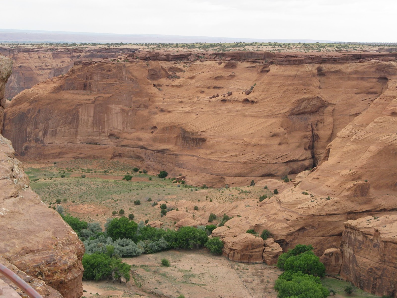
Not only is it between two lake but there are mountains all around. 

The water level remains very constant due to the dam that feeds the river from the upper lake. 

It is never very crowded because it seems only avid fishermen know about this place and it is also hard to get to with 40 miles of gravel road to get back to the stream. It is very peaceful. 

People even fish here in the winter. The water flows most of the year. 

I like to fish and even had the pleasure in winter. Yes, that's Sage and we had gone fishing. Not much luck that day.

And yes there were fish to catch. This was a summer catch.

I have fished there summer and winter. It is such a private pace with beautiful surroundings.

It is hard to judge scale of objects in the distance. Can you see the fishermen in the photo? 

This is a photo zoomed in of the last photo. This is a big stream and big mountains.

It is never very crowded.

It certainly is different in the winter.

Can you imagine Pelicans in Wyoming.

Some of the shoreline is very rocky.

I always find it to be a beautiful place.

There are 6 cabins and I have always had #6 but here is #3.

I hope to return someday in the near future to fish again.